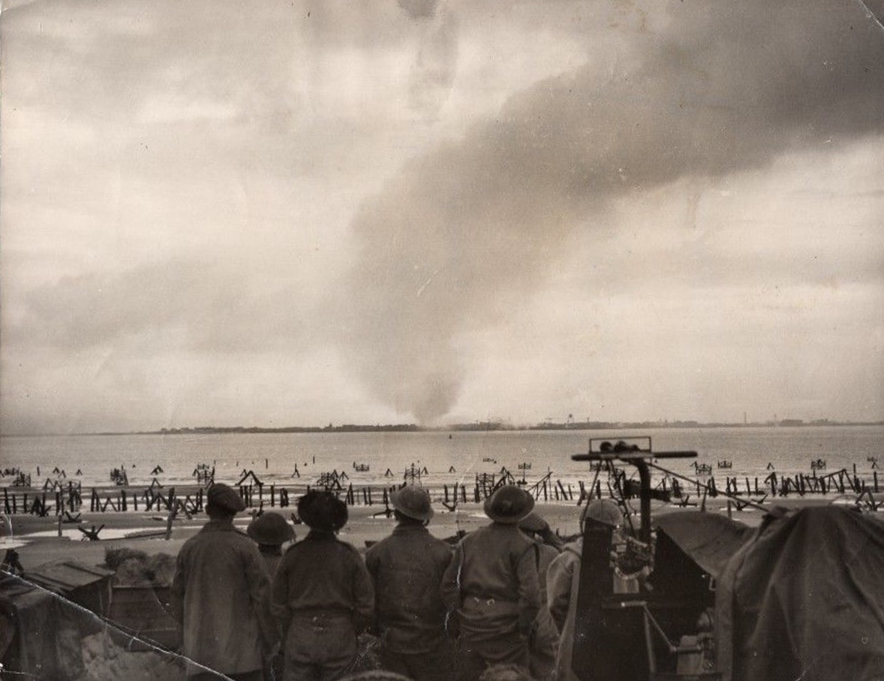
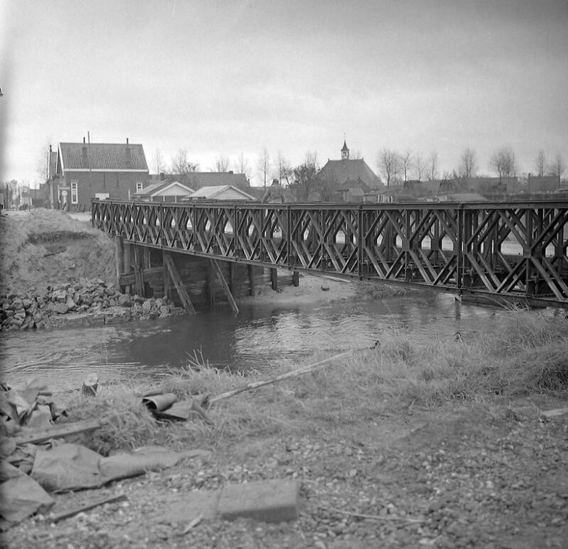
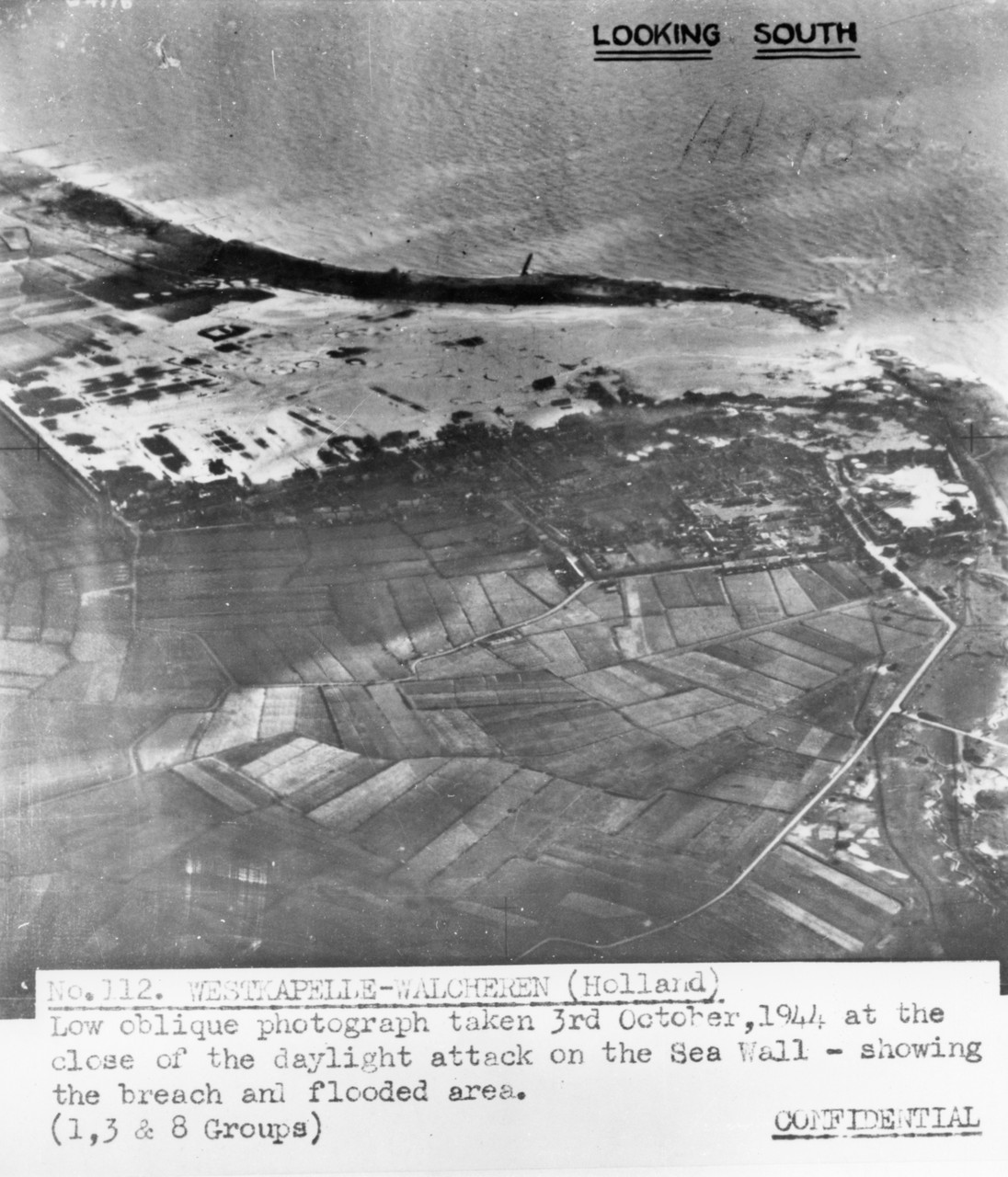
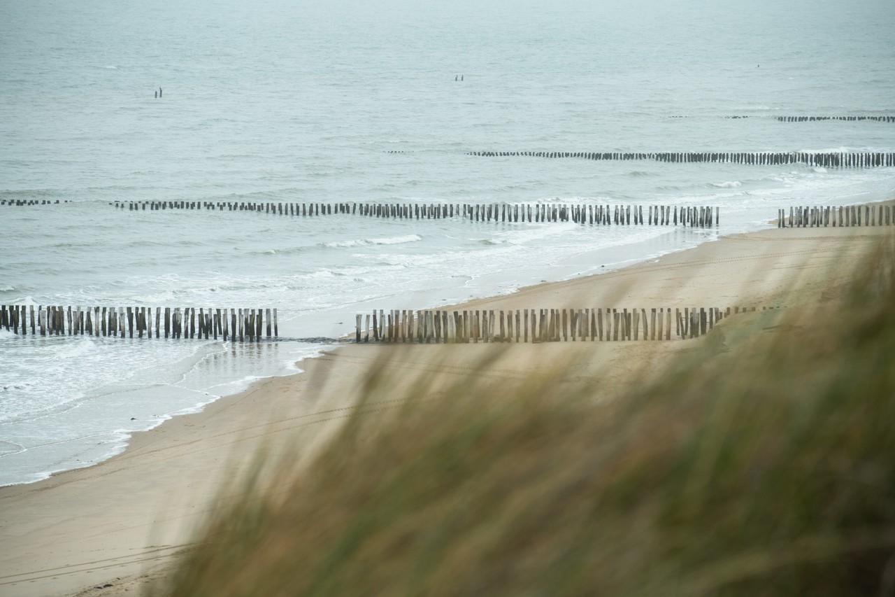
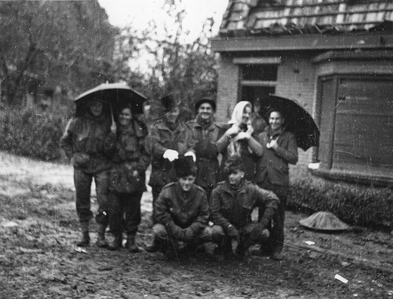
The province of Zeeland, stretching along the North Sea coast and encompassing Zeeuws Vlaanderen, the islands of Walcheren, Noord-Beveland and Zuid-Beveland,was a key strategic region during the German occupation of the Netherlands in World War II for the development of the Atlantic Wall. Stretching over 5,000 kilometers, the Atlantic Wall was built by Nazi Germany along the western coast of Europe. Its purpose was to prevent an Allied invasion of occupied territory.
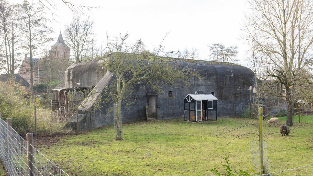
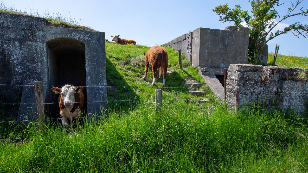
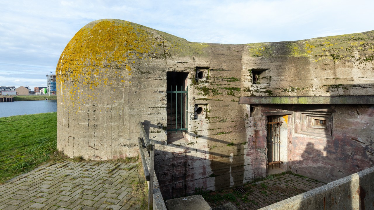
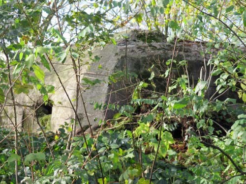
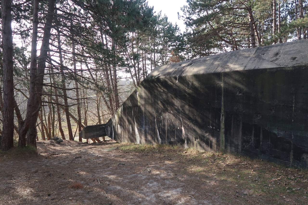
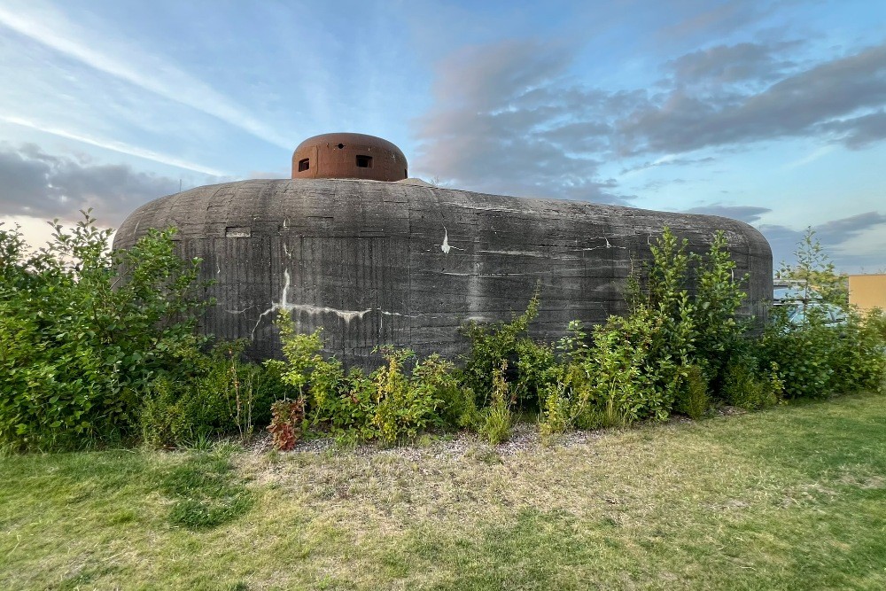
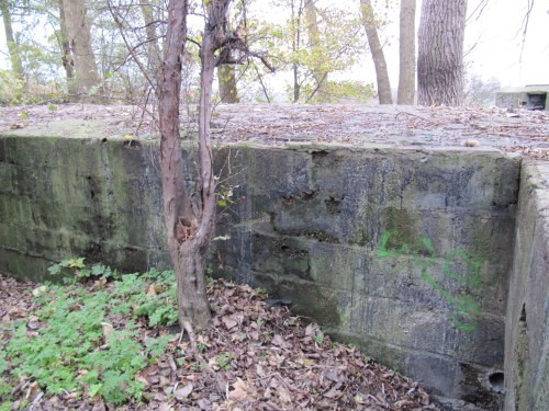
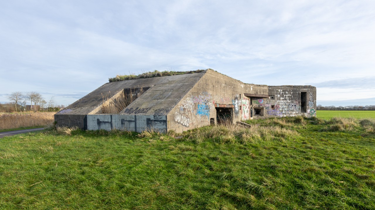
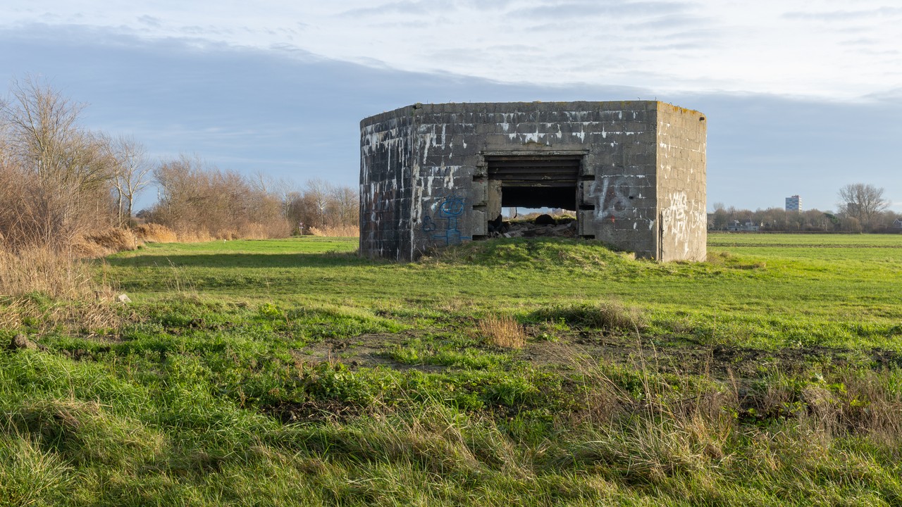
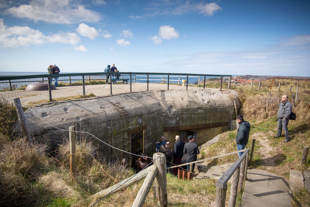
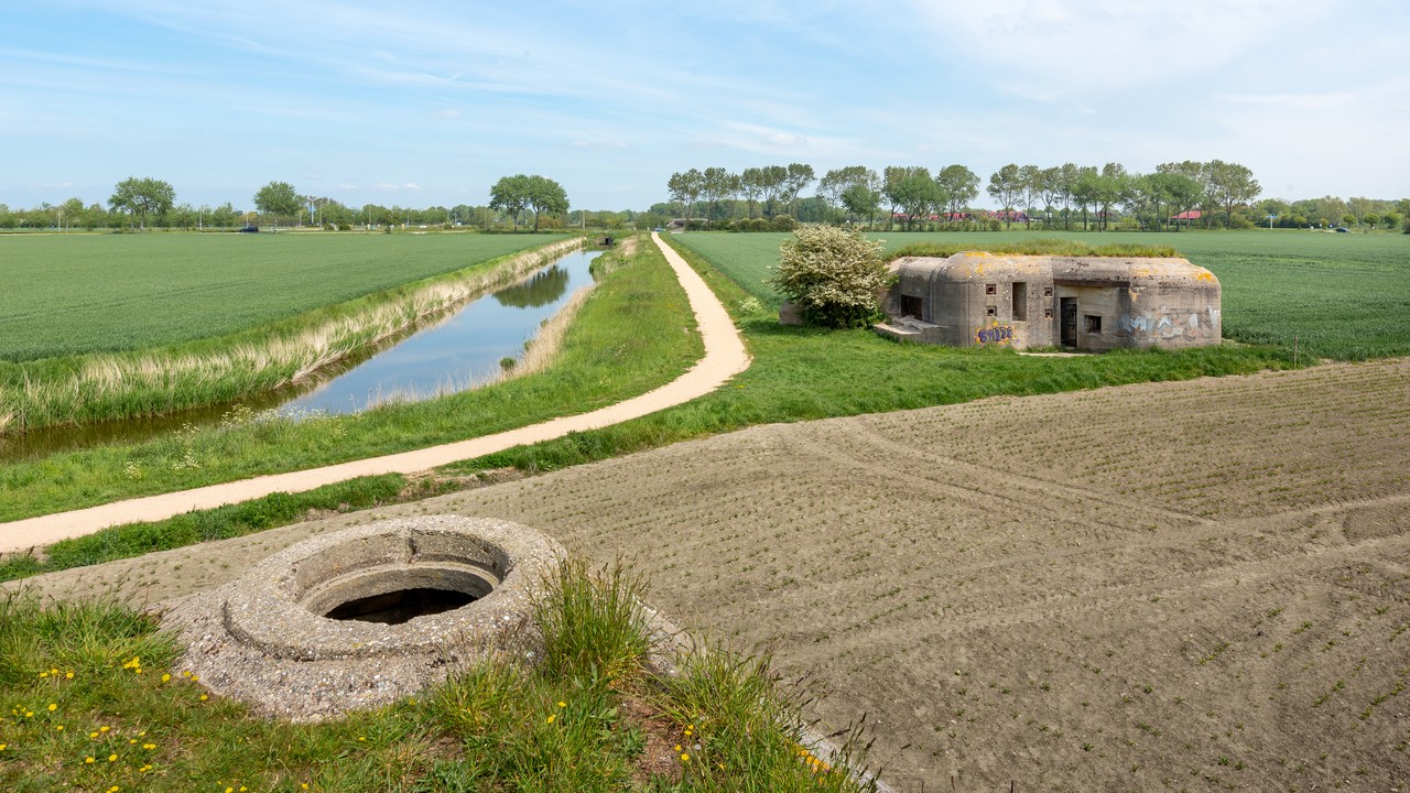
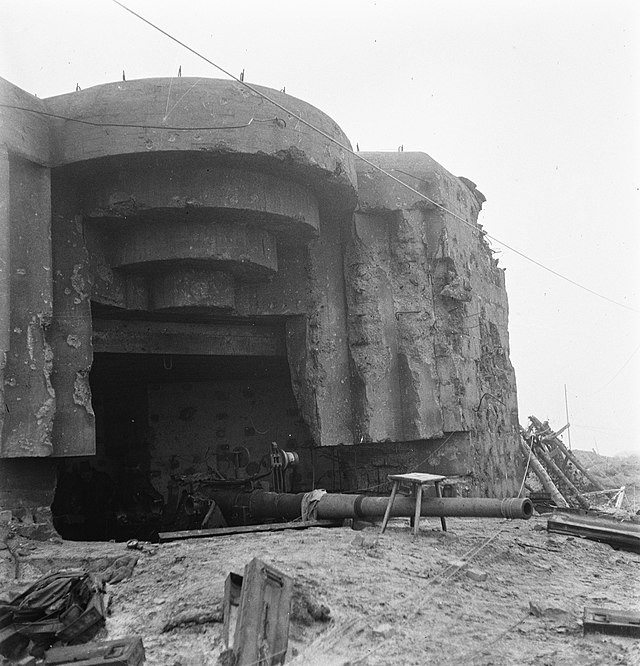
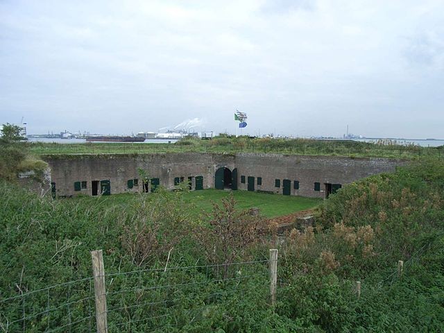
The Atlantic Wall in Zeeland consisted of coastal batteries, anti-tank obstacles, bunkers, casemates, and communication posts, carefully positioned to protect beaches, river mouths, and critical ports. The most noticeable defense work established was the Verteidigungsbereich (defense zone) at Flushing, its aim was to control access to the Scheldt estuary and defend the coastline.
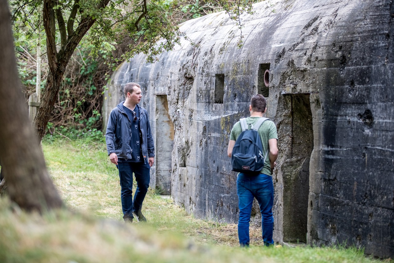
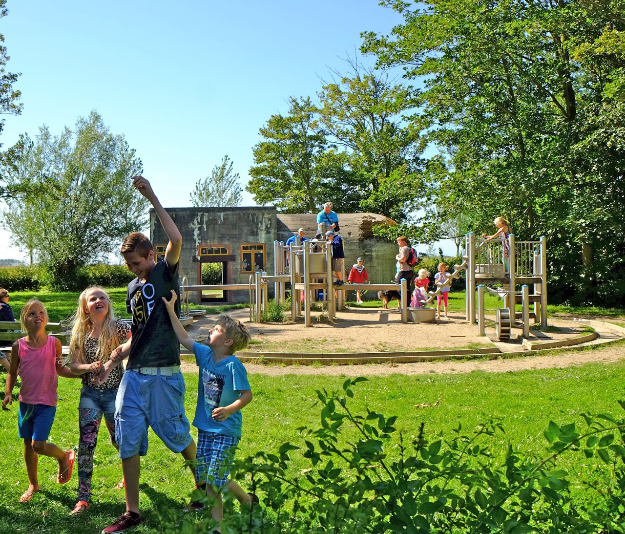
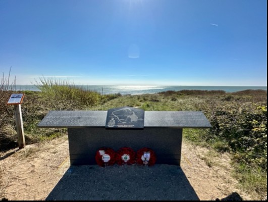
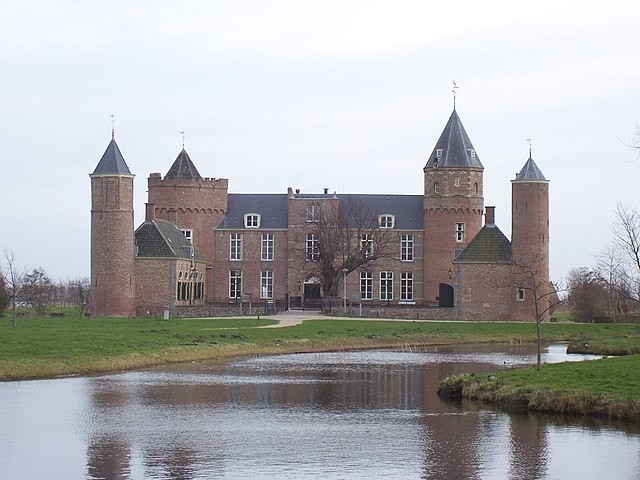
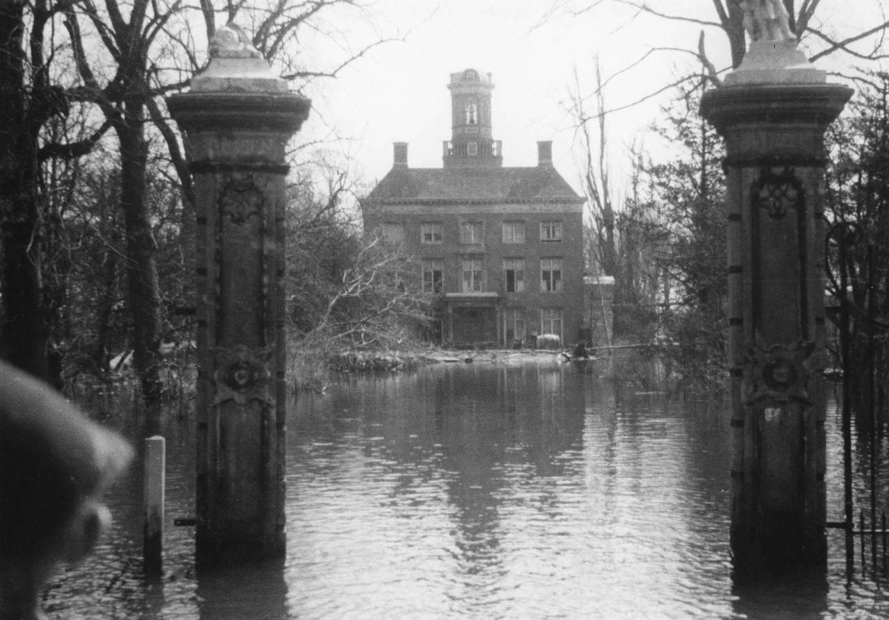
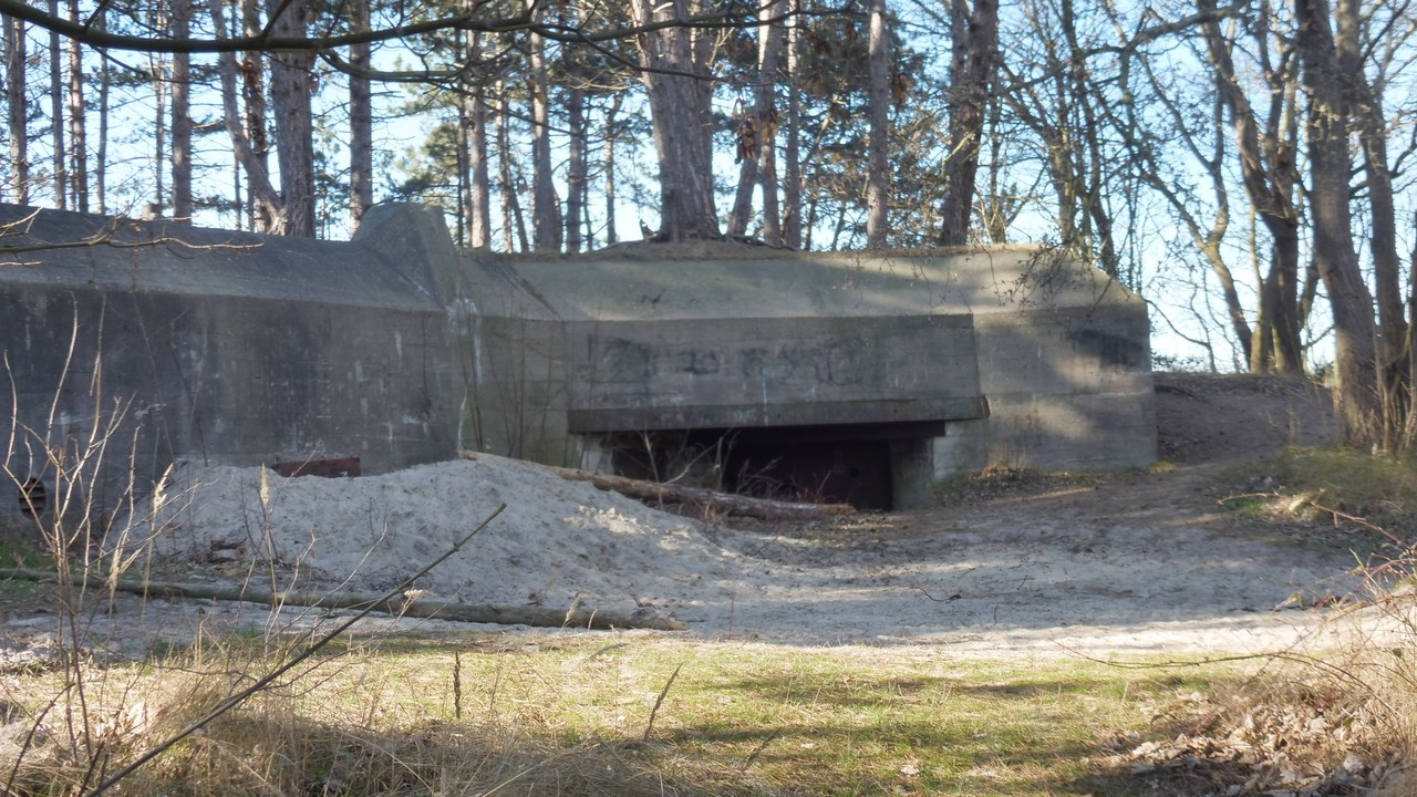
Along the route, you will discover multiple stories and visible marks of the past along the beaches, dunes, forests, harbours and towns. Besides, this route will allow you to encounter several notable highlights: the Liberation Museum in Nieuwdorp, where you can learn about the liberation of Zeeland, the construction of the Atlantic Wall and Battle of the Scheldt; Toorenvliedt estate, featuring a communication bunker from 1944; the Polderhuis Museum, which presents local history and wartime experiences; the Bunkermuseum Zoutelande, preserving original coastal bunkers; and the Museumbunker Oranjedijk, an accessible fortification demonstrating wartime engineering.
This hiking route is a journey through Zeeland’s wartime past, offering a powerful combination of heritage, architecture, history, and culture.