Cycling the Festung IJmuiden – A Jewel in the Atlantic Wall
Pays-Bas
Favoris
Partager
The Atlantic Wall, often described as a string of pearls, was a vast line of fortifications made up of Widerstandsnester (resistance nests), Stützpunkte (strongpoints), and Festungen (fortresses).
The Atlantic Wall was built by Nazi Germany along the western coast of Europe during the Second World War. Its purpose was to prevent an Allied invasion of occupied territory.
The defensive line ran from Norway, through Denmark, Germany, the Netherlands, and Belgium, all the way to France, near the border with Spain. Despite its name, the Atlantic Wall was not a continuous barrier but rather a chain of fortified sites concentrated at strategic locations such as ports, river mouths, and harbor entrances — including Den Helder, Hoek van Holland, and IJmuiden. The gaps in between were filled with strategically placed defense positions.
Even before the Atlantic Wall officially took shape, the Wehrmacht had already constructed several coastal and anti-aircraft batteries around IJmuiden, as well as makeshift fortifications. These early defenses primarily served to guard the coast and prevent British commandos from infiltrating occupied territory. The anti-aircraft and coastal batteries played an increasingly active role, especially in countering Allied air raids.
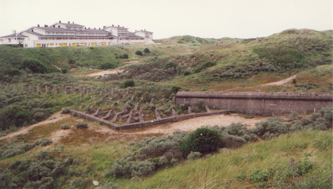
From 1942 onwards, the existing defenses were expanded with a line of anti-tank barriers and bunkers, transforming the area into a Festung (fortress) — a designation that was later made official.
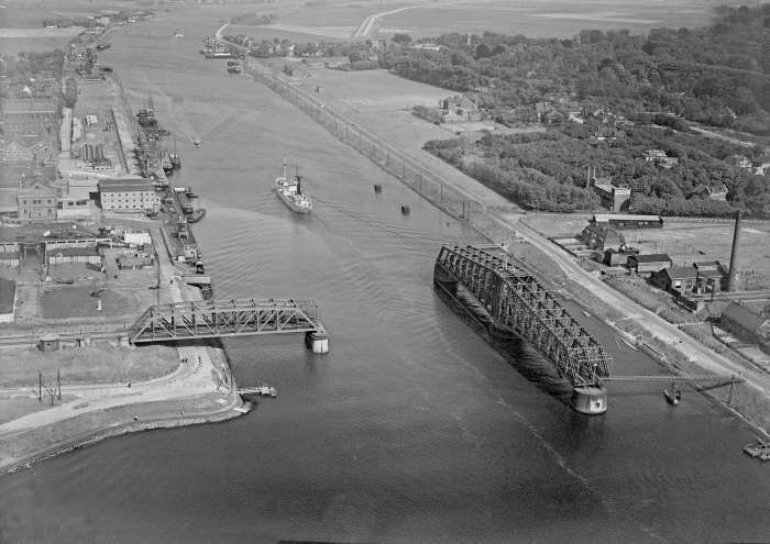
Festung IJmuiden became one of the most strategically important strongholds along the Atlantic Wall. Its location made it a vital defensive and logistical hub: IJmuiden guarded the entrance to the North Sea Canal, the direct maritime route to the Port of Amsterdam, a critical industrial and economic center.
The Festung encompassed several towns — including IJmuiden, Wijk aan Zee, and Driehuis — as well as key industries such as the Hoogovens steelworks and the local power plant. The harbor facilities and massive sluice complex of Rijkswaterstaat were also integral parts of the fortress system.
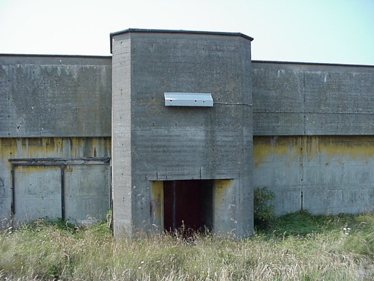
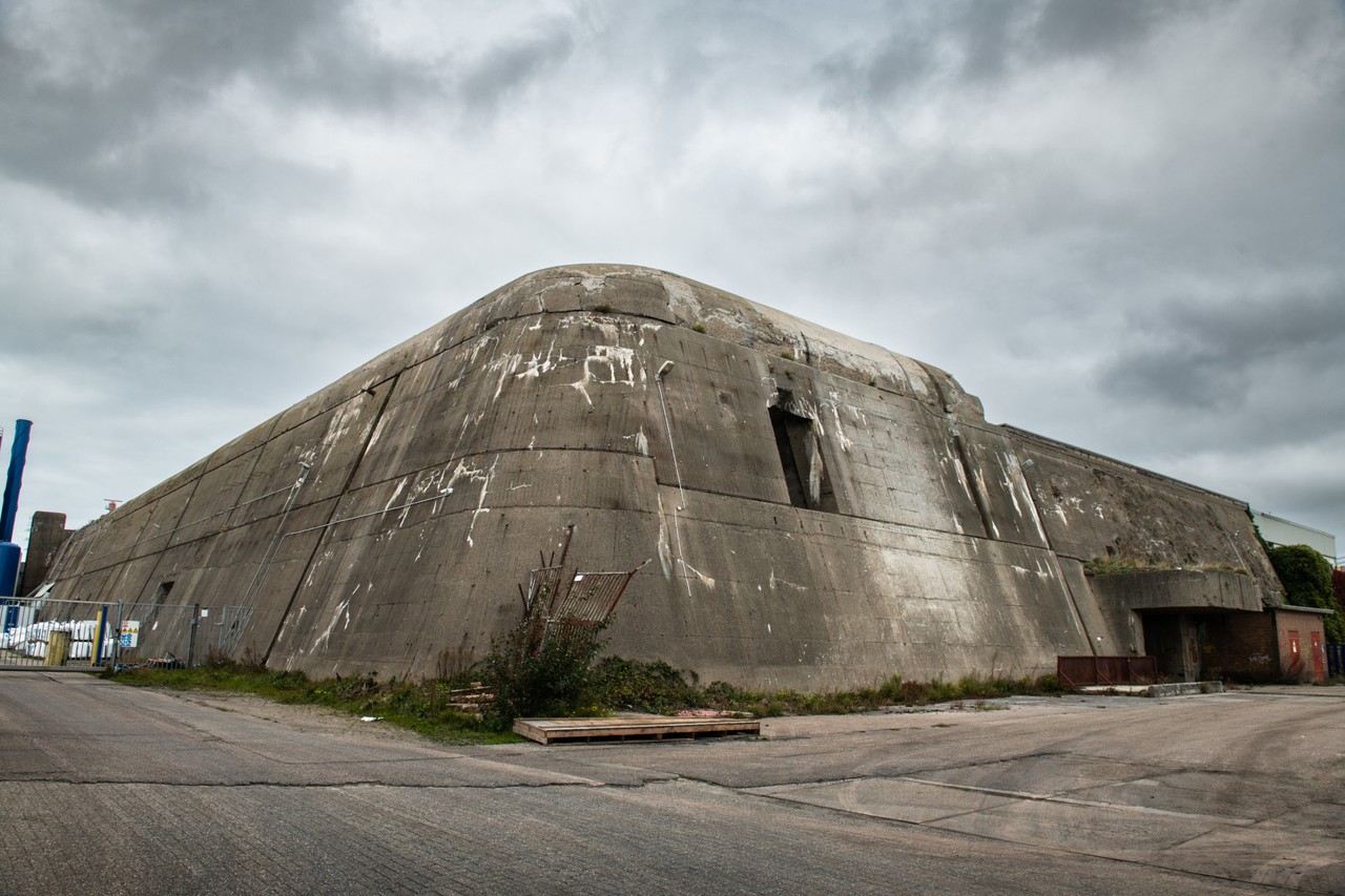
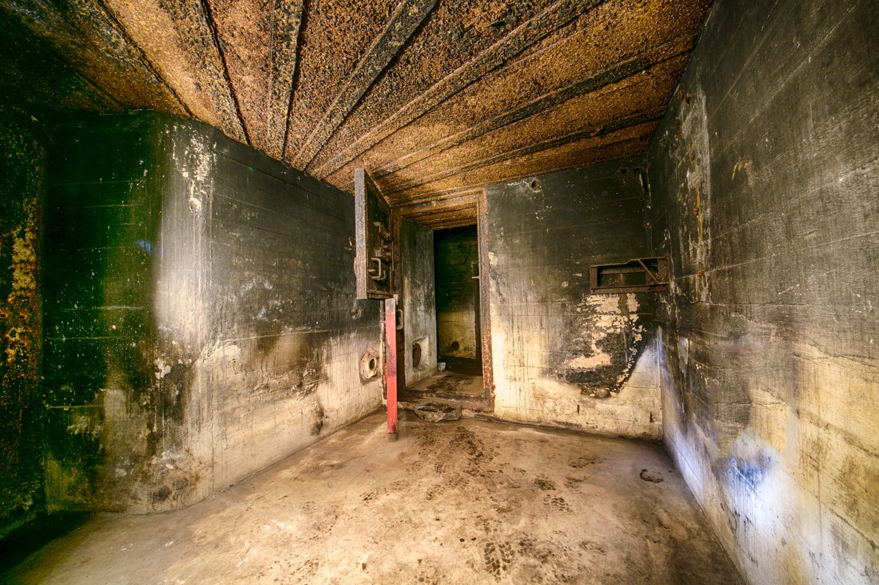
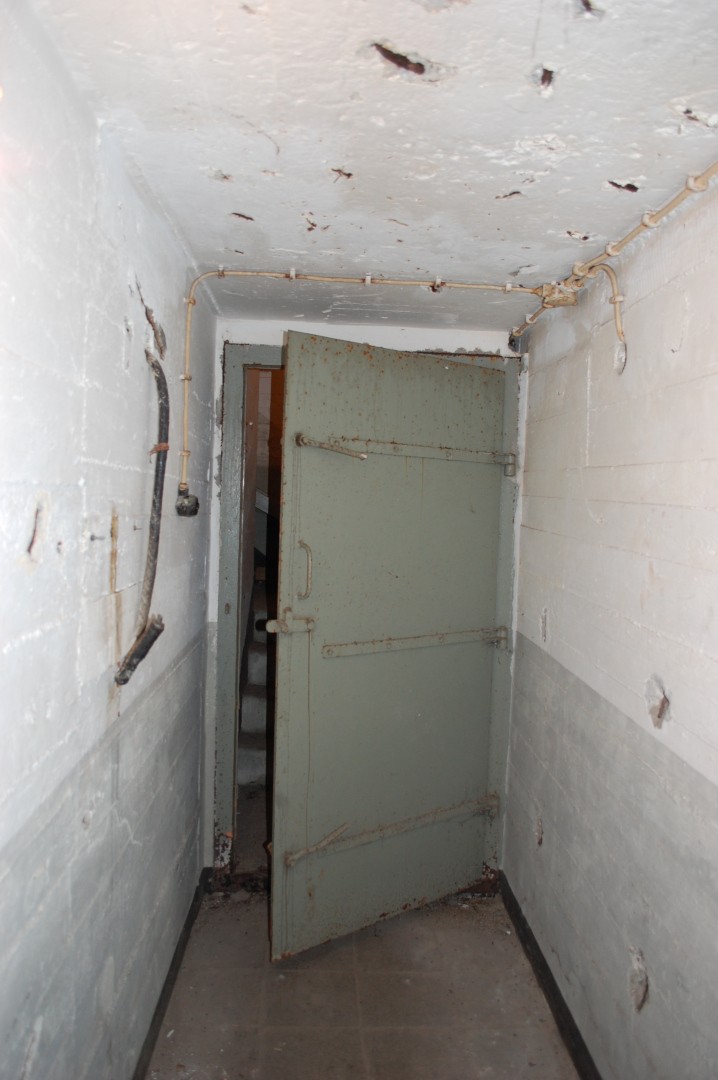
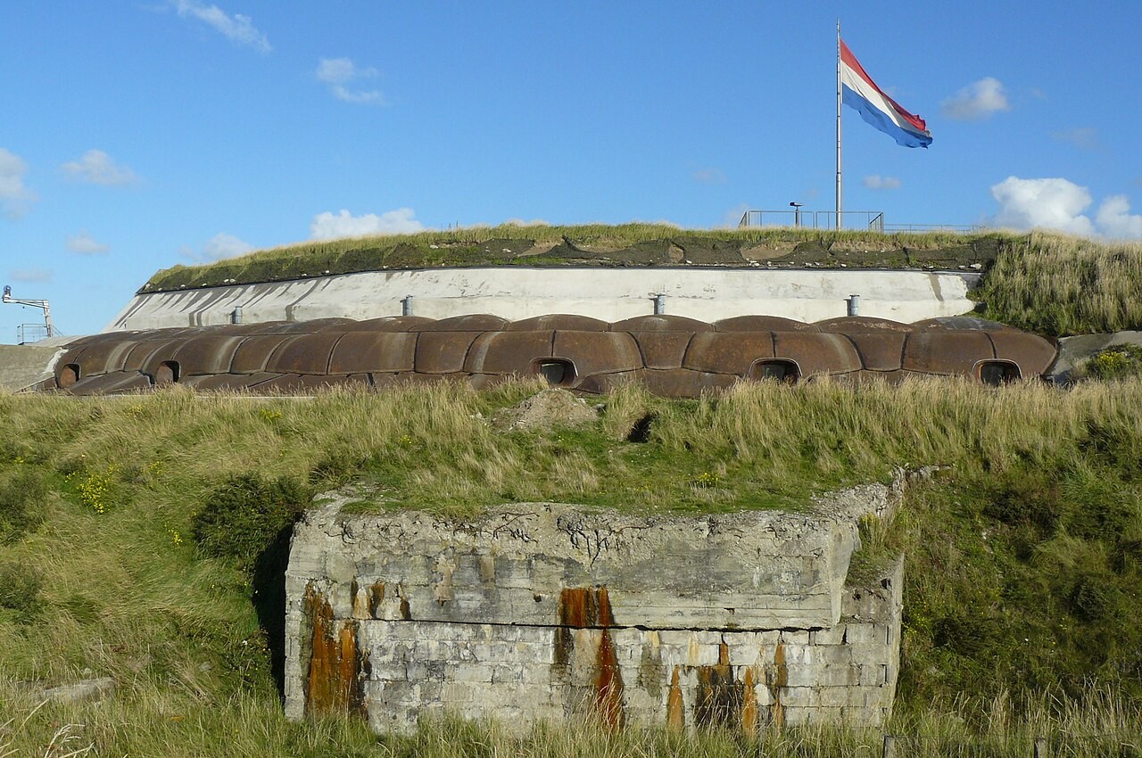
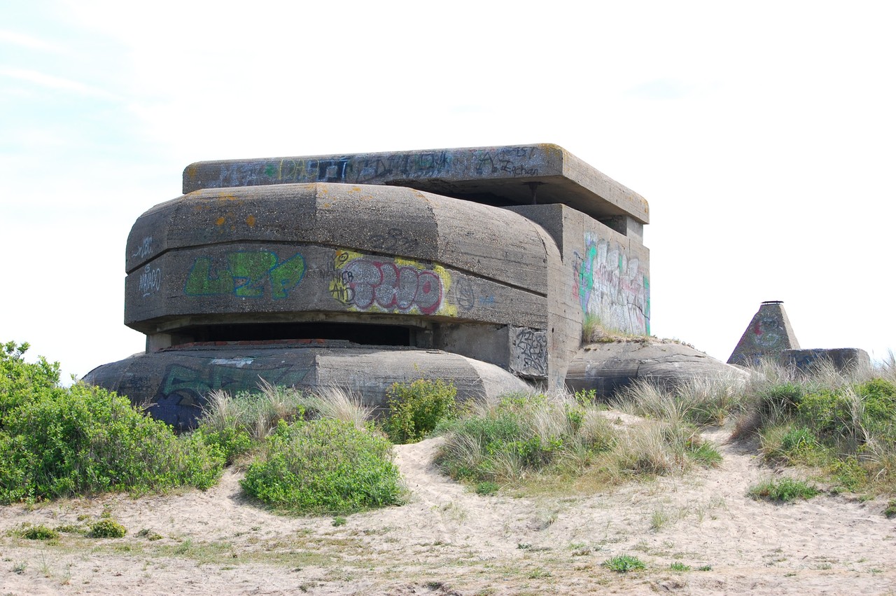
To defend the Festung, the Germans constructed an extensive network of bunkers, command centers, gun emplacements, anti-tank ditches, and other fortifications, creating a nearly impenetrable stronghold. In total, approximately 2,000 defensive structures were built in and around Festung IJmuiden — ranging from massive reinforced-concrete bunkers to smaller field positions.
Some of these bunkers served offensive purposes, such as the Schnellboot (torpedo boat) bunkers and the torpedo storage bunker, which housed the feared German Schnellboote that terrorized Allied shipping in the North Sea and English Channel. Schnellbootbunker II, one of the largest in Europe, still exists today and can be viewed from the outside.
A third category consisted of Luftschutzbunkers (air raid shelters) built to protect civilians and industrial workers from Allied bombing. Only one of these shelters has survived.
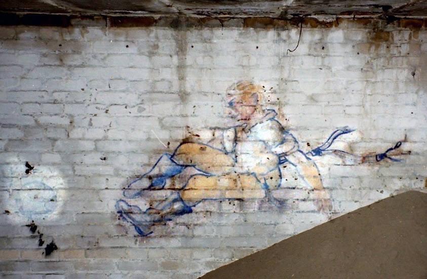
The construction of the Festung had a profound impact on the local population. From 1942 onwards, large-scale evacuations were enforced. Entire neighborhoods were demolished to create clear firing zones, and much of IJmuiden was transformed into a restricted military zone filled with anti-aircraft guns, radar installations, and naval bunkers. Civilians were forbidden to enter, and the once-bustling port town became a closed fortress.
In the years after the war, during the Cold War, some of the former German bunkers were adapted for nuclear defense, and several new atomic bunkers were constructed — extending IJmuiden’s unique military legacy into the modern era.
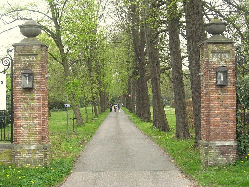
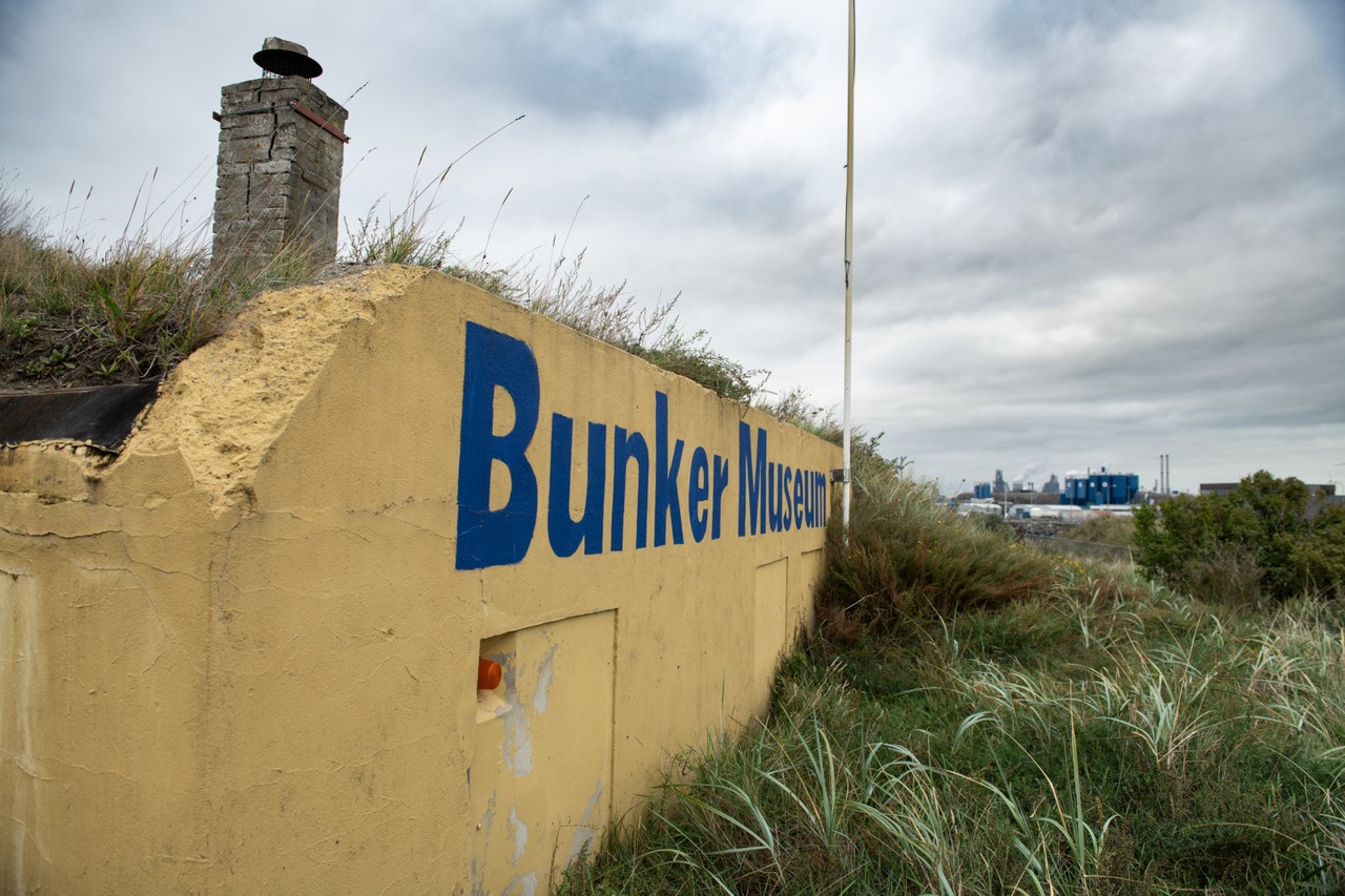
This route starts at the Bunker Museum en leads you to multiple sites in the city marked by the Atlantikwall.
Adresse
Ijmuiden